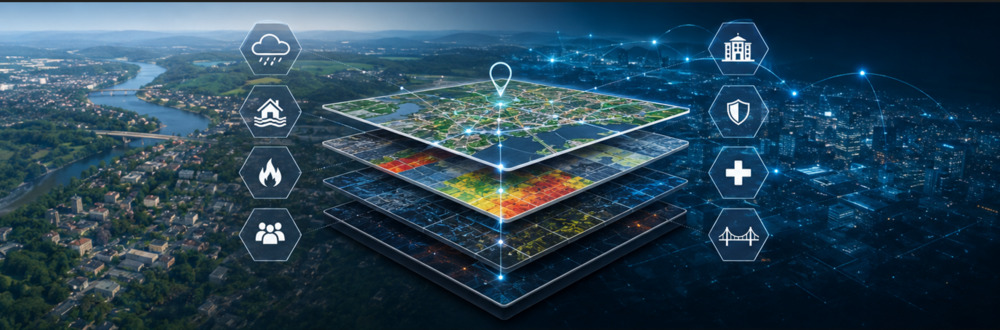
GEOIA: Toward Smart Territorial Analysis to Support Resilience
Regions today face challenges of unprecedented scale. Climate change, the increasing frequency of extreme weather events, urban densification, aging critical infrastructure, and evolving technological risks are profoundly transforming the way organizations must plan, prevent, and respond. In this context, the region is no longer merely a geographic space — it is becoming a strategic source of information.
For a long time, geographic information systems (GIS) were primarily used to display data on a map. While this capability remains essential, it no longer, on its own, meets the needs of organizations responsible for public safety, civil protection, fire safety, risk management, and regional resilience. The challenge now is to transform geospatial data into decision-making intelligence.
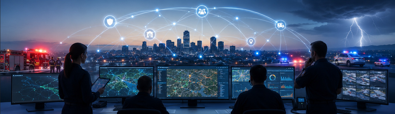
This is the context in which GEOIA operates: a geointelligence approach that enables users to understand a territory, identify its vulnerabilities, anticipate the consequences of an event, and provide decision-makers with a dynamic and contextualized view of their environment.
From GIS to Geointelligence
A map answers only the question “Where?” Geointelligence also answers the questions “Why here?”, “What are the impacts?”, “What are the interdependencies?”, and “What is likely to happen next?”. By cross-referencing geographic data with infrastructure, resources, historical events, and real-time data, GEOIA provides a much richer understanding of the territory.
The Territory as an Interconnected System
Infrastructure, buildings, energy networks, transportation routes, waterways, and populations do not function in isolation. A flood can cause a power outage, disrupt telecommunications, block access to a hospital, and complicate emergency response operations. Geointelligence makes it possible to visualize these interdependencies and assess the ripple effects before they occur.
Practical Applications
In fire safety, GEOIA can support the development and revision of the Fire Risk Coverage Plan by analyzing response times, growing areas, high-risk buildings, fire hydrants, water supply networks, fire stations, specialized resources, and response history. This provides decision-makers with objective indicators to optimize operational coverage, plan investments, and improve protection of the territory.
In civil protection, GEOIA helps identify areas vulnerable to floods, wildfires, landslides, heat waves, storms, or industrial accidents. By overlaying this information with critical infrastructure, healthcare facilities, schools, senior living facilities, shelters, and evacuation routes, it becomes possible to better prepare emergency response plans, target vulnerable populations, and prioritize preventive actions.
In public safety, geointelligence promotes a better understanding of the territory by identifying high-risk response areas, sectors where certain events are concentrated, sensitive infrastructure, strategic facilities, and critical transportation corridors. This overview helps improve operational planning, resource deployment, and coordination among various responders.
In risk management, GEOIA also provides an environment conducive to analyzing the potential consequences of a major incident. A decision-maker can, for example, assess the impact of a water main break, a bridge closure, a prolonged power outage, or a hazardous materials spill on essential services and the population.
Artificial Intelligence as an Accelerator
The integration of artificial intelligence represents a major advancement. Rather than requiring users to interpret dozens of map layers, GEOIA can automatically detect spatial relationships, flag anomalies, generate territorial overviews, compare a situation with past events, and highlight domino effects. AI does not make decisions on behalf of responders; it accelerates their understanding of the situation and provides them with a richer context.
Toward Territorial Resilience
A resilient organization is one that knows its territory, understands its vulnerabilities, shares a common understanding of the situation, and continuously learns from its experiences. Geointelligence contributes to each of these dimensions by providing a dynamic representation of the territory, powered by reliable and evolving data.
Beyond mapping, GEOIA represents a new way of interpreting a territory. By linking data, events, infrastructure, and risks within a single intelligent geospatial environment, it becomes possible to shift from reactive to proactive risk management. This evolution paves the way for better-prepared communities, more effective responses, and sustainable territorial resilience.